3D Measured Building Surveys: The Cost-Accuracy Trade-off
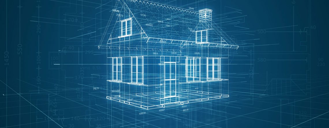
3D Measured Building Surveys involve scanning the interior and exterior of a property with lasers, resulting in a set of 3D data coordinates known as a point cloud.
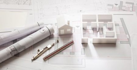
They are great for mapping existing structures and exporting dimensionally accurate data to popular CAD software, including Revit and AutoCAD, for further manipulation. From here the dimensional point cloud, colour, and texture data are used in Building Information Modelling (BIM), architectural and interior refurbishment designs, and CGI renovation plans, among many other facets of the built environment.
Mapping 3D data from existing buildings with laser scanning is a well-established process, and is largely considered the most effective way of converting real-life structures to CAD models; removing the need for hand measuring and data entry, with a greater level of accuracy to boot.
The Cost Challenge for Small-Scale Projects
Despite developments in technology and increasingly widespread use, the persistent issue of point cloud surveys is that – for many small and medium scale applications at least – the high cost of traditional laser scanning services remains commercially unviable.
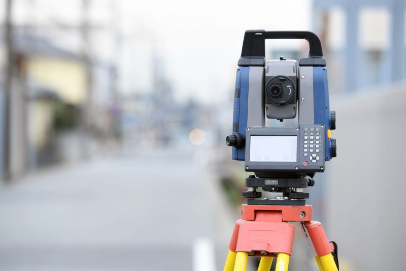
Meanwhile, the cost of purchasing laser scanning equipment outright for these applications, with entry-level models in the region of £70,000, is another matter entirely for smaller projects and structural contractors.
Whilst the business case for using 3D scanners on large-scale developments and multi-site estates is clear, their application to small residential and high street commercial projects remains infrequent, due mostly to the cost of laser scanning not stacking up against the overall project value – whether for redesign, BIM, or CGI purposes.

The Solution: Low-Cost Infrared Scanning
An increasingly popular alternative to laser scanning is 3D infrared scanning. The most salient differences between the two are matters of cost and accuracy; infrared scanning comes at a fraction of the cost, with slightly lower dimensional accuracy compared to lasers.
For example, whilst a typical laser scanner may be accurate to within 1mm over a distance of 1 metre (0.1%). Meanwhile an infrared scanner will normally be accurate to within 10mm over 1 metre (1%).
Whilst a 1% deviance from real life dimensions is not suitable for many purposes, such as large-scale BIM projects requiring the highest possible accuracy of CAD models, it is more than useable for many other purposes which prioritise spatial context over complete dimensional accuracy. The difference in cost – which can be as much as 90% – makes infrared a compelling alternative to lasers for smaller or less accuracy-reliant projects.
At ViewScape we use infrared scanners for creating ‘as is’ virtual reality experiences of built environments. The first part of this process involves infrared scanning to produce a point cloud for spatial context which, instead of virtual reality, can be applied to the same CAD software systems used to manipulate laser scans.
When is Infrared a Viable Alternative to Laser Scanning?
As discussed, infrared scanners may not be suitable for CAD building projects which prioritise dimensional accuracy above all else. For those projects which only require spatial context, and have slack for a 1% deviance from reality, significant cost savings and process efficiency can be found with infrared scanning as an alternative to traditional lasers.
Small interior spaces are a particularly popular use for infrared-scanned point clouds. Firstly, smaller spaces ensure that a 1% accuracy deviance is minimised in real terms; for example over 100m the CAD data could be off by an entire metre, whereas in a 4m room it would only be 4 centimetres. Secondly, smaller projects typically carry a lower budget, so where laser scanning was commercially out of the question, the reduced cost of infrared is a genuine alternative.
Visualisation purposes, such as CGI concepts of interior refurbishments, do not require the level of data accuracy required from scaled architectural models. If you’re not going to build anything based on the CAD plans, cheaper infrared building surveys can provide the desired effect at a fraction of the cost.
Virtual reality & gaming often use real-world built environments as a starting point for the virtual world. Once again, as no construction or building modelling is taking place, the accuracy of infrared scans is more than suitable as a building block for computerised environments.